The B.C. government is asking for the public’s assistance in reporting any erosion concerns or potential flooding risks associated with recent wildfires within the Regional District of Bulkley-Nechako.
The assistance is requested so the appropriate authorities can be notified and problem areas addressed.
Wildfire activity can increase the risk of natural landslides and flooding. Areas burned during the 2018 wildfire season may face a higher risk of soil erosion, which could result in more sedimentation in waterways and in drainage infrastructure, such as culverts or ditches.
Post-wildfire rehabilitation planning and implementation activities were partially completed in priority areas prior to the arrival of snow and freezing conditions in November 2018. These initial activities addressed the most immediate concerns, but they have not eliminated all potential risks. It will take time during the next growing season for soil-stabilizing plants to regenerate and help mitigate soil movement and erosion hazards in burned areas. Rehabilitation work and planning will continue in the region in the spring.
Members of the public are advised to watch out for landslides and signs of erosion or sedimentation. The rate at which the snow melts this spring and the amount of water released will influence whether any of these impacts occur.
People travelling on roads downslope of burned areas should exercise caution, particularly when snowmelt rates are high or when rain or snow is falling. Care should also be taken during summer thundershowers since heavy rain can increase the potential for floods or landslides.
- Anyone observing any such impacts on public roads, bridges or culverts in the Vanderhoof, Fraser Lake or Fort St. James areas should contact Yellowhead Road and Bridge Vanderhoof at 250 567-3114 during office hours (7 a.m. to 3 p.m., Monday to Friday) or 1 800 667-6636 outside of office hours. These phone lines are monitored 24/7 and any issues will be addressed immediately. Yellowhead Road and Bridge Vanderhoof and Ministry of Transportation and Infrastructure staff regularly monitor road conditions.
- Anyone noticing damage to forest service roads or the environment (such as erosion affecting streams or other waterways) should contact the Ministry of Forests, Lands, Natural Resource Operations and Rural Development at 250 567-6363. Ministry staff regularly monitor such impacts on Crown land.
- For further information or to report other concerns about erosion or sedimentation in the region, phone the Regional District of Bulkley-Nechako at 1 800 320-3339.
- For emergency assistance, call 911.
Learn More:
For more information about potential hazards in wildfire-affected areas, read the Landslide and Flooding Risks Due to Wildfires brochure at: https://www2.gov.bc.ca/gov/content/safety/emergency-preparedness-response-recovery/preparedbc/know-the-risks/landslides
Related Post
As Published in Canadian Forest Industries Magazine, Pulp & Paper Magazine and Canadian Biomass Magazine
Jennifer Gunter’s Op Ed, “Community Forests: Rooted in Community,
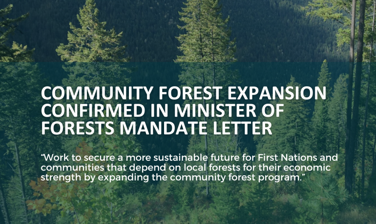
Minister of Forests Mandated to Expand BC’s Community Forest Program
In the recently released mandate letter to the Minister


