Forester’s video animation helps explain Nelson’s wildfire risks
A local forest consultant has created a video to help the public understand the complexities of wildfire mitigation around Nelson. A daunting list of entities each has some authority over the land visible from the city: city hall, the Regional District of Central Kootenay (RDCK), one large private forest landowner, multiple smaller private landowners, several timber companies, BC Parks, and the province of B.C. They all have to co-operate in the complex project of reducing wildfire risk. John Cathro’s video, made in partnership with visual artist Andrew Fry, shows the breakdown in an easy-to-understand 120 second visual. “Charts and graphs tend to make people’s eyes glaze over,” Cathro says. “Many people don’t understand maps, and long-winded descriptions can be too time consuming. So I thought we need to bring in different media to tell the story.”
Related Post
As Published in Canadian Forest Industries Magazine, Pulp & Paper Magazine and Canadian Biomass Magazine
Jennifer Gunter’s Op Ed, “Community Forests: Rooted in Community,
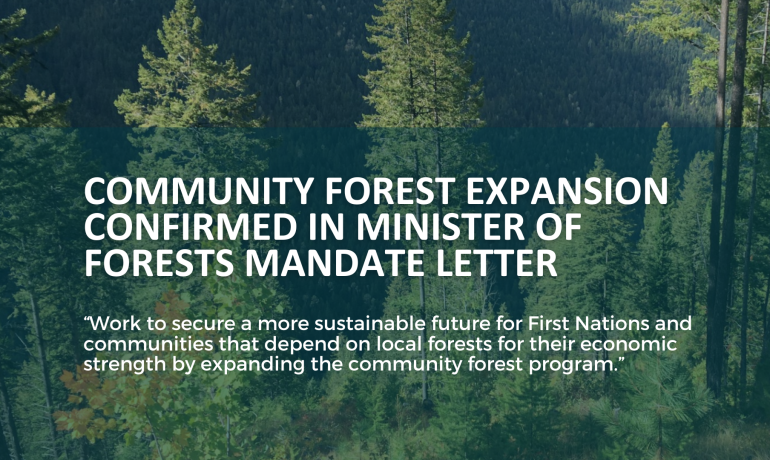
Minister of Forests Mandated to Expand BC’s Community Forest Program
In the recently released mandate letter to the Minister


