A new project location map launched last week by the Forest Enhancement Society of B.C. (FESBC) provides a unique opportunity to view projects throughout the province based on location as well as on the society’s five purposes for project funding: forest carbon, stand rehabilitation, fibre recovery, wildlife habitat enhancement, and wildfire risk reduction. A goal of the project location map is to highlight the good work of project proponents so community members can see what work is being accomplished province-wide and in their own backyard.
The map can be found on FESBC’s website www.fesbc.ca
Related Post
August 1, 2025
As Published in Canadian Forest Industries Magazine, Pulp & Paper Magazine and Canadian Biomass Magazine
Jennifer Gunter’s Op Ed, “Community Forests: Rooted in Community,
January 20, 2025
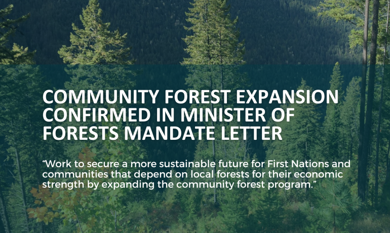
Minister of Forests Mandated to Expand BC’s Community Forest Program
In the recently released mandate letter to the Minister


