Free new Canadian app detects and maps forest fires to improve response and public safety
By First Response Management Group
TORONTO – The new FireFringe™ app detects and maps forest fires and hotspots across the country. It is now available for free to Canadian firefighters, forestry managers, emergency managers, municipalities, the media and the public to see – in near real time – where fires are blazing. “Our app shows where fires are beginning to grow and can help predict where they are headed. It’s simple and visual to keep people informed and safe,” said Phil Green, CEO of First Resource Management Group (FRMG), the developers of FireFringe™. It leverages FRMG’s SkyForest™ technology, which uses satellites to make detailed maps of forests and the trees growing there. It is then paired with satellite sensors from NASA that detect high temperatures, and mapping imagery from Mapbox™. The app also provides data from Natural Resources Canada about the perimeters of fires and their hotspots.
Related Post
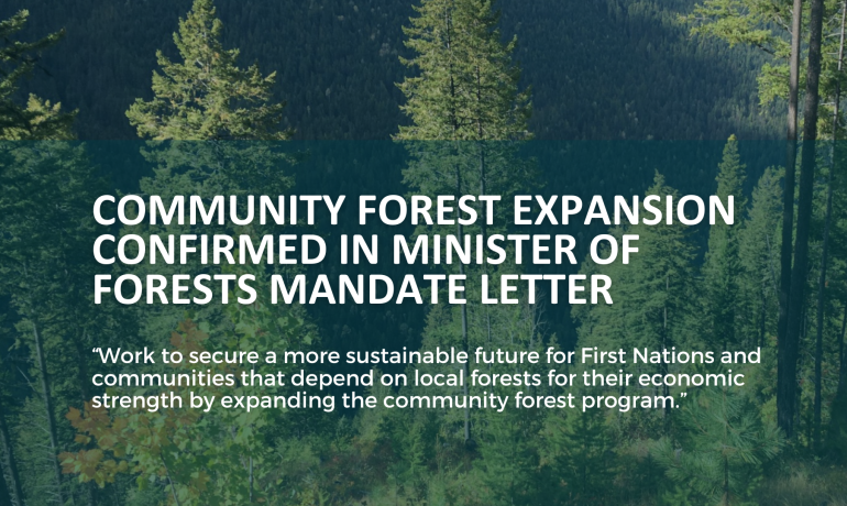
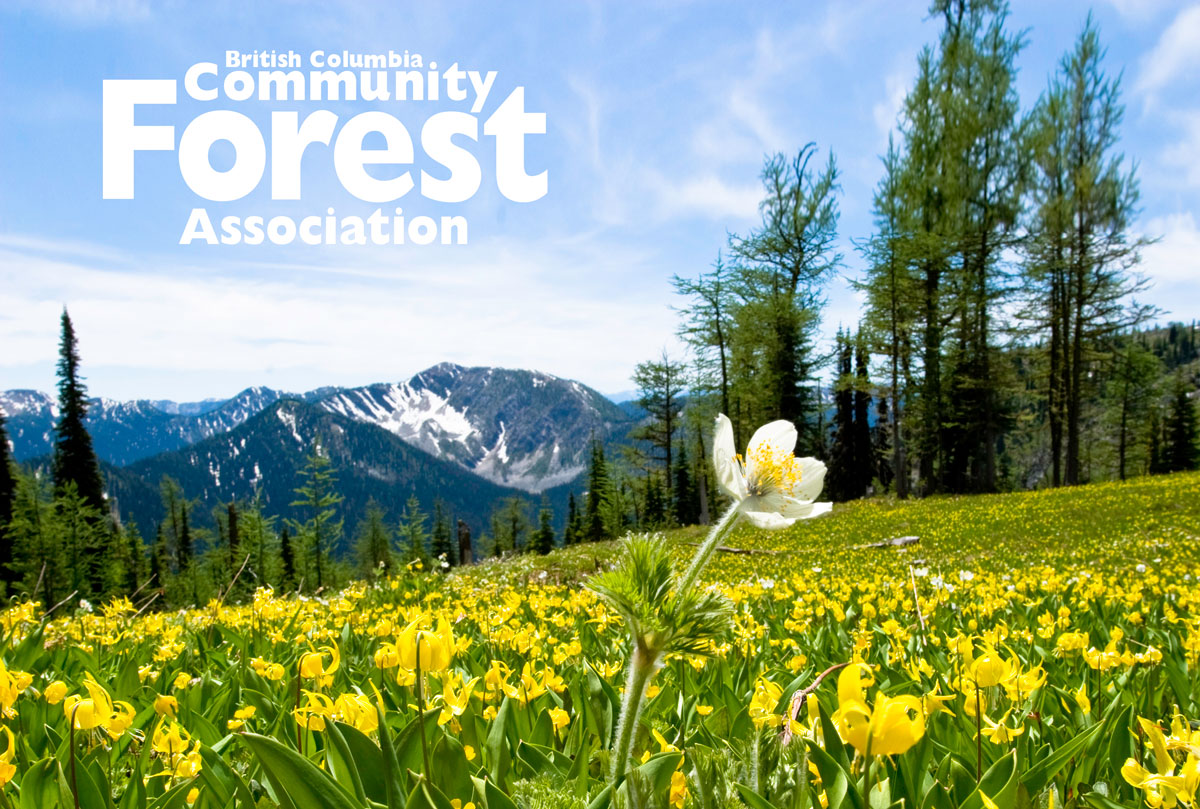
Minister of Forests Mandated to Expand BC’s Community Forest Program
In the recently released mandate letter to the Minister
BCCFA Congratulates Newly Announced Three Rivers Community Forest in Quesnel, BC
The BC Community Forest Association (BCCFA) is proud to